

The programme, led by the Rwanda Space Agency (RSA), is designed to support a wide range of national development activities across the country.
The partnership follows a pilot project implemented in Zanzibar with support from the Tony Blair Institute and the World Bank. It marks Planet's first national-scale satellite data partnership in Africa.
At government level, the programme will make high-resolution satellite imagery available to support policymaking and national planning.
The data will be used to monitor agriculture and food security, track forest health and resilience, improve urban planning and zoning, and support land-use management. It will also help strengthen disaster preparedness, prevention and response, including assessing and repairing damage caused by disasters.
The Rwanda Space Agency is working to make satellite imagery one of the key tools used by government institutions to inform decision-making at different levels.
The programme also includes an education component. Public universities in Rwanda will use Planet's imagery and data for teaching, developing new courses and advancing technology-driven research.
The partnership will also help build local capacity by equipping people with the skills and knowledge needed to analyse and use satellite data effectively.
Selected startups operating in key sectors of national development will also have access to Planet's near-daily data. They will use the information to develop new solutions and services, with the broader goal of promoting inclusive economic growth.
Planet Labs PBC is a U.S.-based Earth observation company founded in 2010 by three former NASA scientists. The company designs, builds and operates a large fleet of Earth-imaging satellites and provides satellite imagery, geospatial data and analytics to governments, businesses and research institutions.
Planet says its fleet of approximately 200 Earth-imaging satellites can capture imagery covering the world's landmass daily, making it possible to monitor changes on the ground at a much higher frequency than traditional satellite imagery.
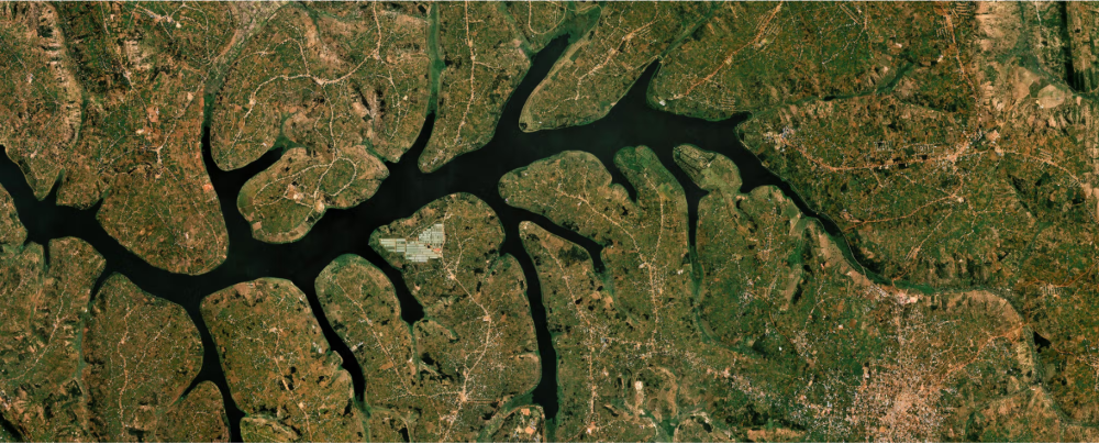
Source : https://new.igihe.com/english/rwanda-planet-launch-national-satellite-data-programme/
